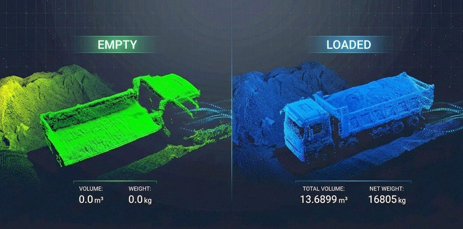
Accurate Truck Load Volume Measurement, Powered by Neuvition LiDAR
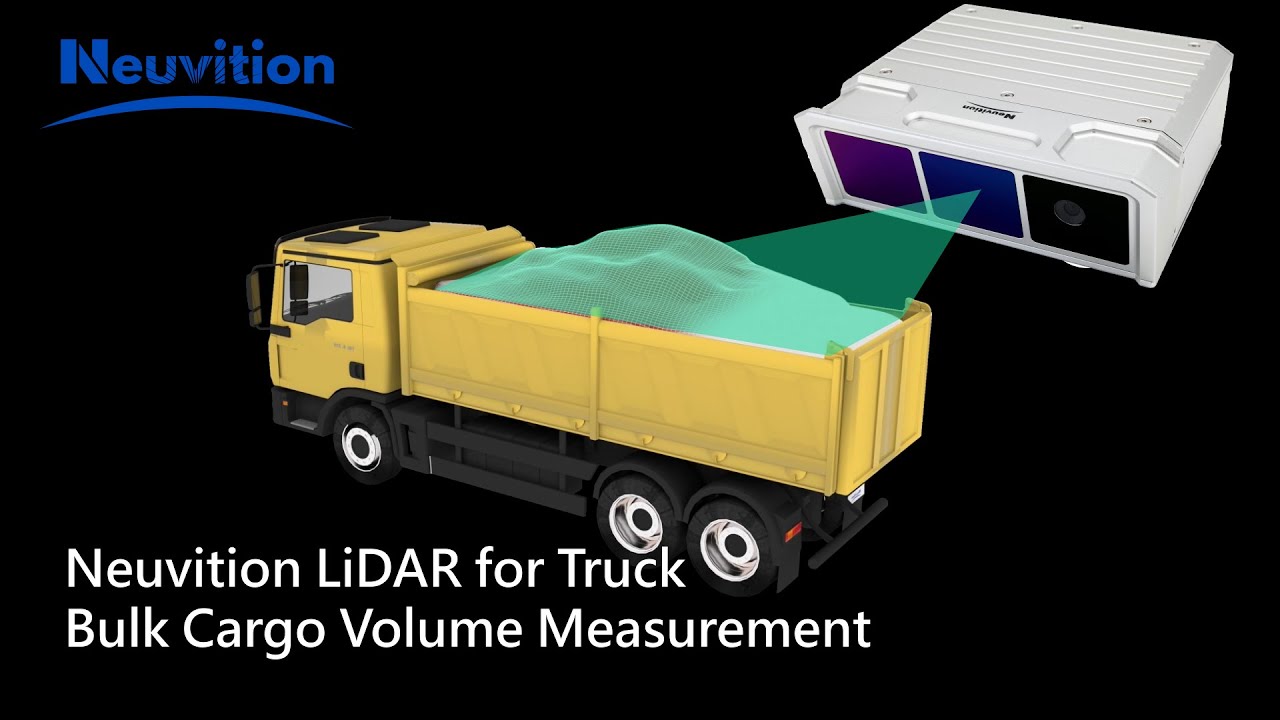
Automatically measure bulk truck loads, reduce manual estimation errors, and generate reliable volume data for mines, ports, stockyards, and aggregate operations.
Deploy LiDAR-based measurement workflows across demanding bulk material operations where speed, consistency, and traceable data matter.
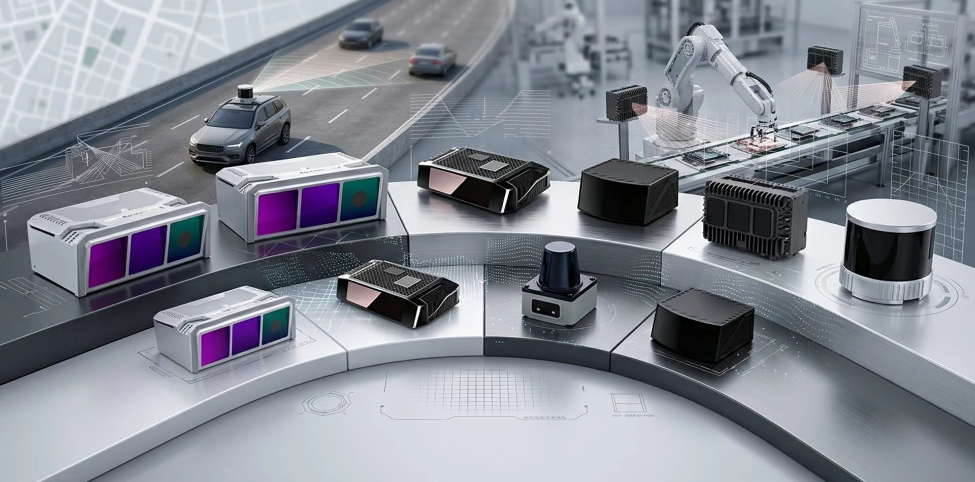
Compare Neuvition LiDAR models by range, field of view, resolution, and deployment requirements to match your measurement or perception system.
Neuvition helps industrial customers turn 3D LiDAR sensing, point-cloud analysis, and application experience into practical systems for measurement, automation, inspection, and safety-critical scenarios.
Solution design shaped around real operating conditions in mines, ports, stockyards, logistics hubs, rail, and smart infrastructure.
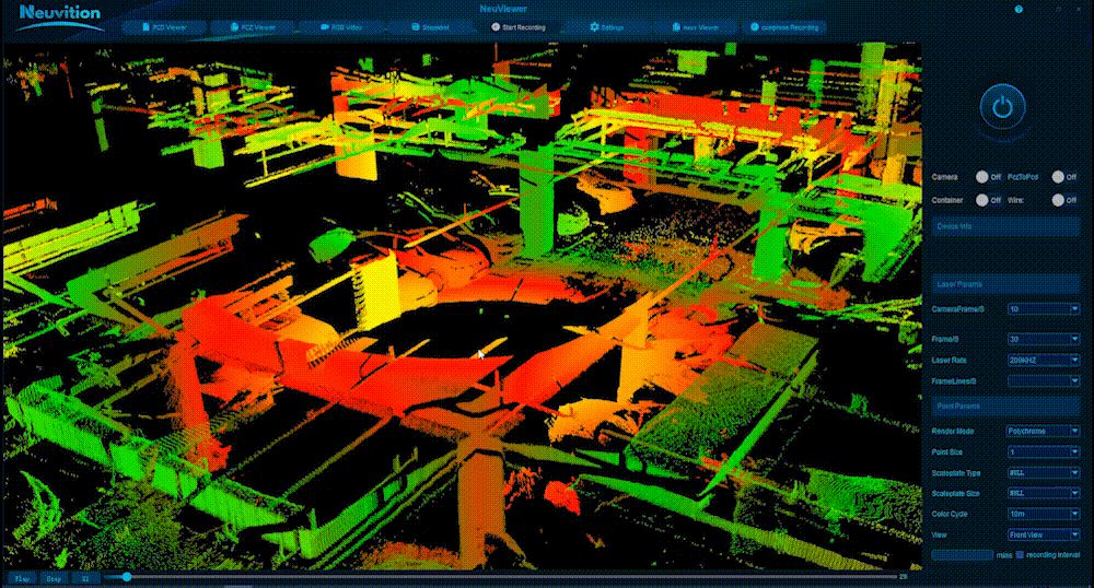
Transform dense LiDAR point clouds into measurable, reviewable, and operationally useful information for field teams.
Build practical workflows for volume measurement, object detection, collision avoidance, monitoring, and site automation.
Deliver structured outputs that can connect with customer reporting, dispatch, settlement, safety, or management systems.
Neuvition combines high-resolution 3D LiDAR, point-cloud processing, measurement algorithms, perception software, and deployment support to deliver complete solutions for industrial measurement, safety warning, and smart-site perception.
Turn LiDAR scan data into actionable volume results for trucks, stockpiles, warehouses, and silos—helping teams improve inventory control, loading verification, reporting, and settlement workflows.
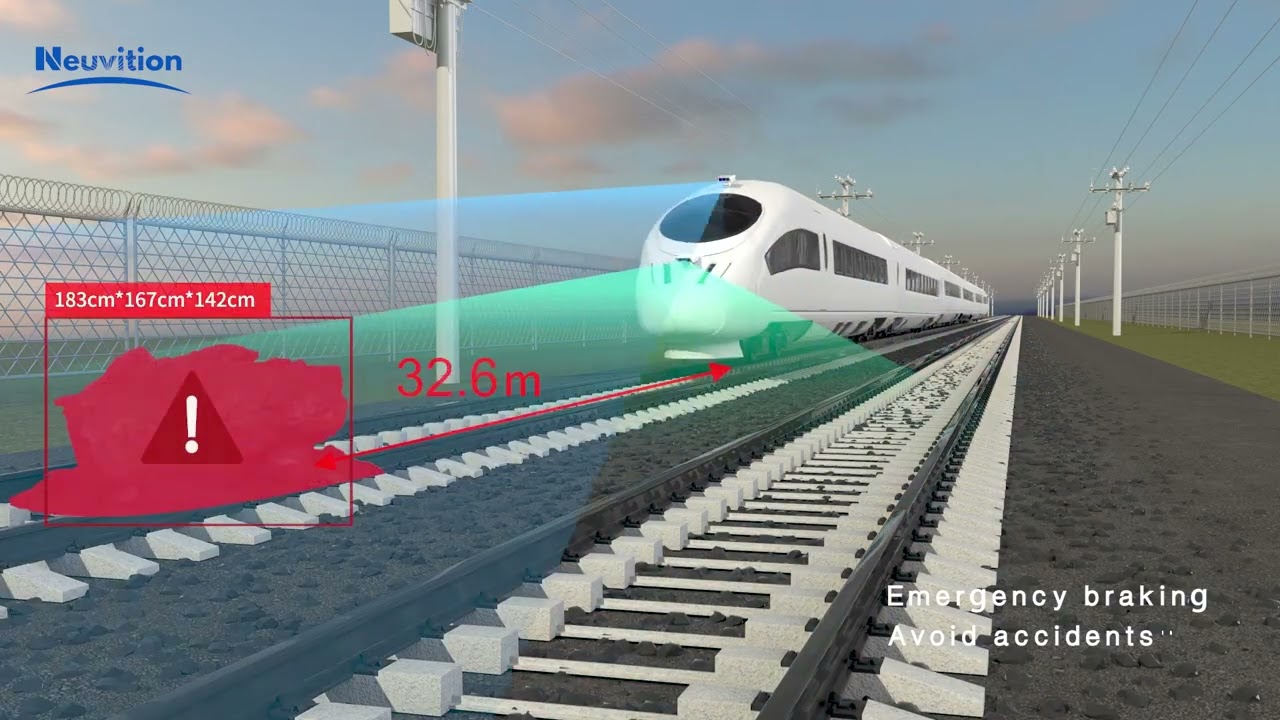
Apply 3D LiDAR perception to rail, roadside, and industrial transportation environments—helping teams identify obstacles, people, vehicles, and collision risks earlier for safer operations.
Build LiDAR-based perception for ports, container yards, AGV/autonomous workflows, perimeter zones, and customized industrial monitoring—so teams can add reliable 3D awareness where cameras or manual inspection fall short.
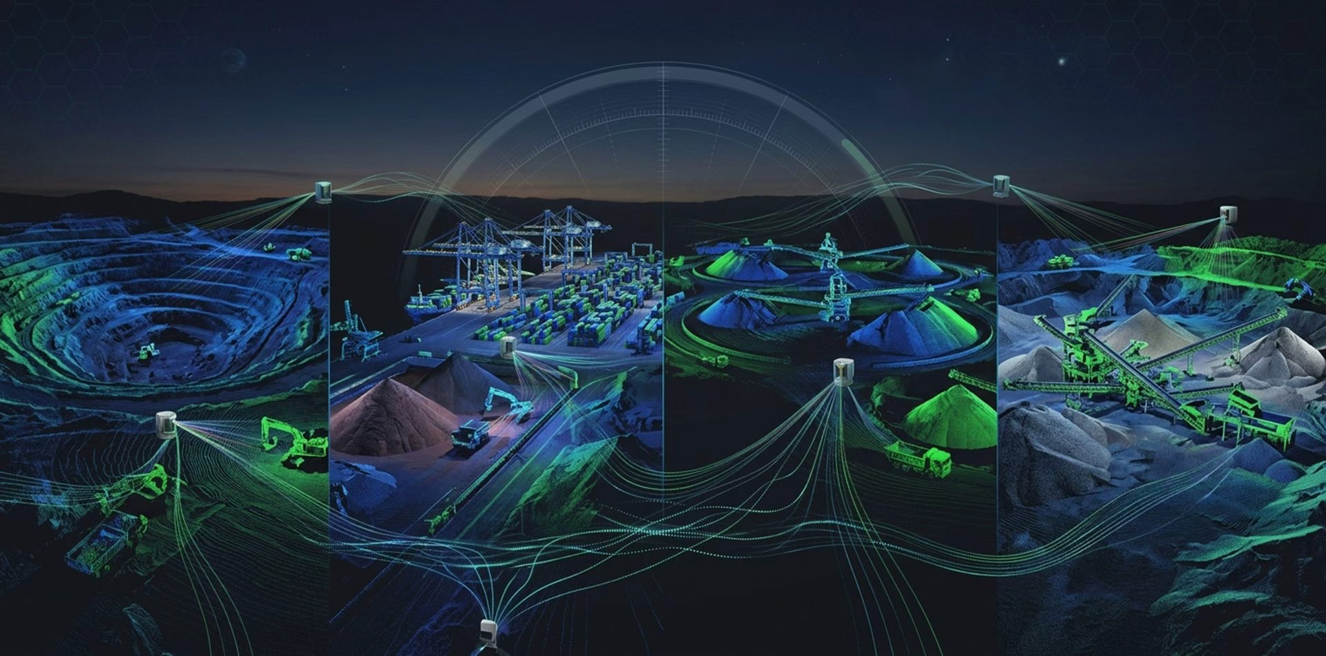
Neuvition solutions are not only built around LiDAR sensing and algorithms—they are validated through field applications across measurement, rail safety, port automation, mining, and smart industrial perception.
After reviewing proven applications and customer references, many teams often ask about project fit, demo preparation, SDK availability, communication interfaces, real-time data, and system integration before choosing the right LiDAR setup.
Share your application details →Neuvition can evaluate site layout, sensing distance, target objects, mounting position, environmental conditions, and expected measurement or perception results before recommending a LiDAR setup.
Useful details include your site scenario, target task, installation condition, required accuracy or detection goal, deployment timeline, and whether the system needs to connect with existing workflows.
Yes. Projects can be discussed around volume measurement, object detection, safety warning, automation perception, point-cloud processing, robotics, autonomous systems, and application-specific workflow design.
For integration, Neuvition LiDAR products mainly support Ethernet data communication and provide a C/C++ SDK with APIs for system development. The SDK supports real-time data access and processing for moving platforms or autonomous applications, while ROS driver support is available for robotics and autonomous system integration. Typical outputs include point-cloud data, measurement results, detection results, warning signals, reports, or structured data for customer systems.
Yes. Neuvition can provide development support based on project requirements. If your team needs a development kit, additional API guidance, other programming language support, or a specific hardware interface review, the requirement can be discussed during the technical evaluation.
After receiving your application details, the Neuvition team can review feasibility, suggest suitable LiDAR models or deployment approaches, and discuss the next step for a demo, technical evaluation, or quotation.
Tell us about your site scenario, target task, installation condition, and required data output. Our team can help evaluate the right LiDAR sensor setup, point-cloud workflow, and deployment approach for your project.
Submit your application requirement and Neuvition will follow up with a practical recommendation.